|
Goal 1: What Google Maps is and how to navigate the app/program.
Google Maps is a Google service that tells you where you are and will direct you to where you need to go. In order for Google Maps to tell you where you are going, you must first plug the address into the “Search Google Maps” icon. Once you have correctly inserted the address, push enter or the search icon and Google Maps will show you the routes available to get to your new location. The program will automatically choose the fastest route. Once you have the routes, you can choose your mode of transportation. The most common mode of travel, and the default setting, is normally the car icon. The other methods of transportation are walking, transit, cycling, or for some destinations flying. Also, when you enter an address and choose your method of transportation, the Google Maps will tell you how long (in hours and minutes) it will approximately take to reach your destination. If you want to avoid certain things such as highways or toll roads, there is an option to avoid these things and Google will take you a different route. If you are using the mobile app, Siri or Google Assistant will give you directions to your destination as you are driving. When using the online program, you can print the directions. |
|
Goal 2: Identify the different icons and different versions of maps.
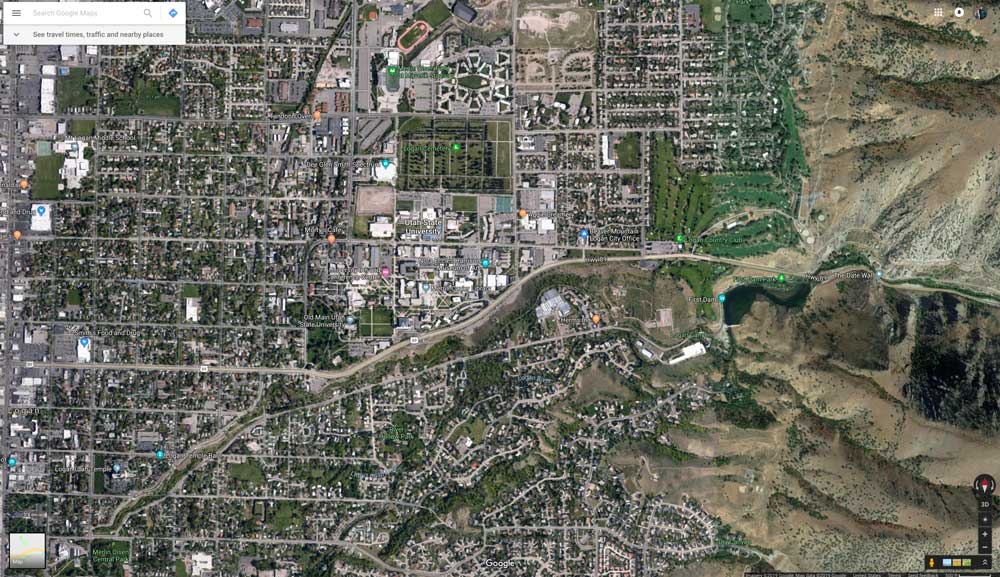
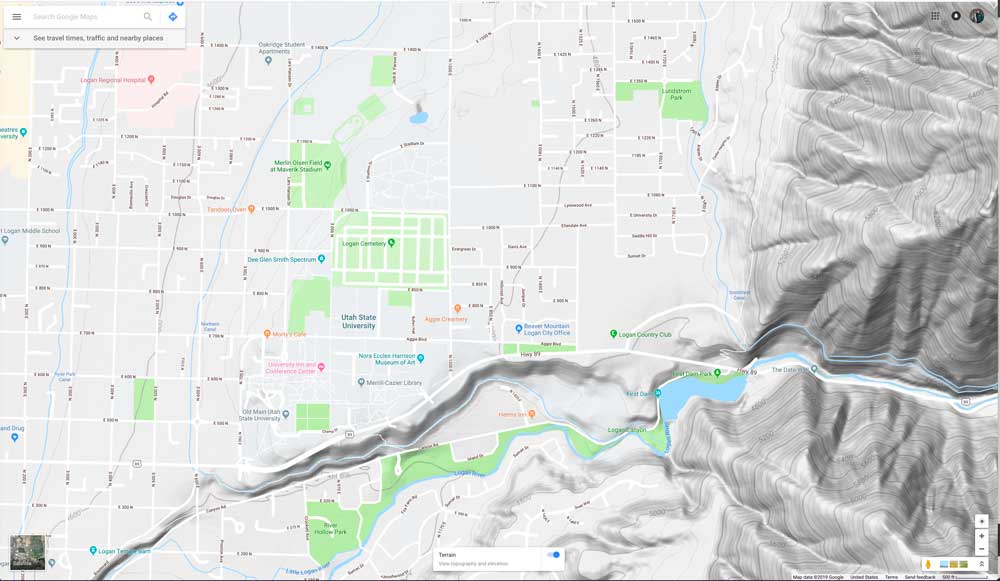
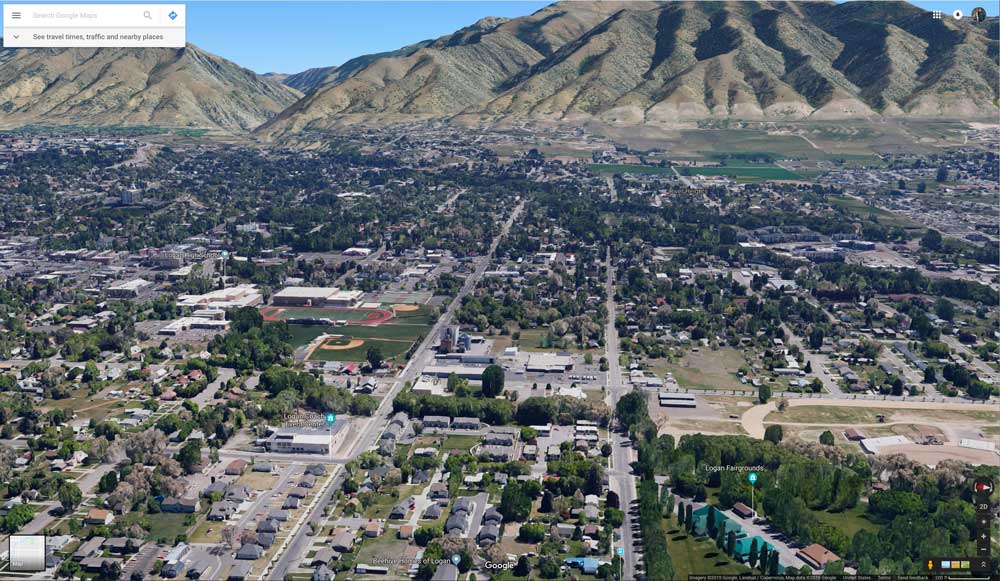
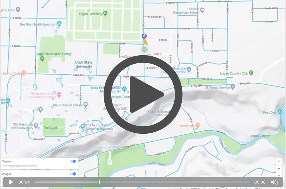
This program has many different icons and tools that can be confusing but are very helpful. When you go to the pull down menu on google maps you have an option for your map to be in map form, satellite form, or terrain form. There is also a 3D view button in the lower right corner of your browser window. Each of these can serve a great purpose. The map view is the most used form on Google Maps and will show specific streets and highways. Satellite form shows the map from a satellite perspective. It shows the mountain ranges, the bodies of water, and will show the physical features of the world. Tip: have your labels turned on when you are looking at the satellite version of the map. You can check you have your labels on because it will state this when you go back to the Google Maps pull down menu. The last version of the map is terrain. Terrain is similar to USGS geological survey maps. It shows the terrain of the mountains like in the satellite form and then shows the lakes and rivers in the normal map setting. This is useful when you are looking at a route and need to see the terrain of your route. |
|
Goal 3: How to use Google Maps in a teaching setting.
Google maps can be used in daily life trying to get from place to place, but can also be very helpful in a classroom. For example, teachers and students can do virtual field trips. One great feature: You can drop down into street view anywhere that Google's mapping cars have roamed (the streets will have blue lines where you can drop in). See the short video demonstration. Below are other video tutorials that will demonstrate Google Maps features teachers and students can use! |
